
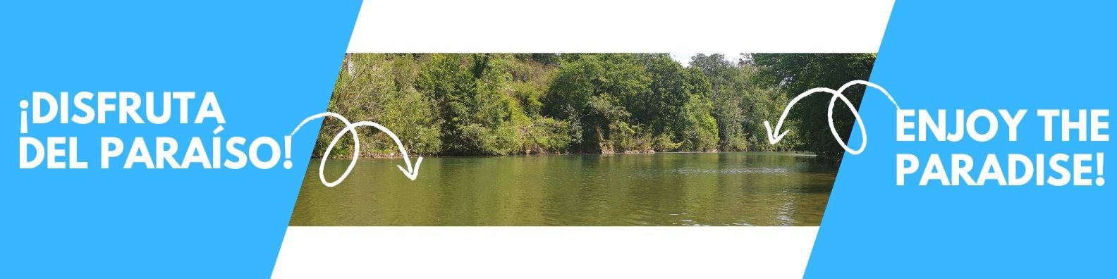
On Friday, the eve of the great competition, starting at 7:00 p.m. in the Plaza del Cañón in Arriondas, the opening ceremony of the International Descent of the Sella takes place — one of the most anticipated moments of the Fiesta de las Piraguas.
This symbolic act, which officially kicks off the event, brings together authorities, paddlers, and the general public in a festive atmosphere steeped in tradition. Currently, the ceremony includes the following highlights:
- 👋 Official welcome
- 🎤 Speeches by authorities
- 🏆 “Values of the Sella” awards
- 🚣 Presentation of the most prominent paddlers
- 🎉 Parade from the Plaza del Cañón across the Arriondas Bridge
- 🌊 Water unification ceremony of the Sella
- 🚩 Hoisting and lowering of the flags of all participating countries
An act full of symbolism
The paddlers from different countries who take part in the Sella gather in the Plaza del Cañón and, after the official acts, march in a parade to the riverbank where the water unification takes place. There, on the flagpoles placed on the right bank of the Sella, each nation lowers its flag to the sound of its anthem.
The act concludes with the performance of the Anthem of Asturias, also known as the Anthem of the Paddlers, which marks the official beginning of Saturday’s great festival.
📹 In this video you can see how the opening ceremony looks today and relive one of the most emotional and symbolic moments of the International Descent of the Sella:
📹 In this video, you can see how the opening ceremony used to be:
tag: Izado de banderas y hermanamiento de las aguas – Hoisting flags and twinning the waters
One Comment