
 End of the Sella Descent – Ribadesella (Km 20)
🔹 Useful Technical Information:
📍 Location: Ribadesella, Asturias
📏 Distance from Arriondas: 20 km
🚣 Activity: Natural finish line of the International Sella Descent
🎣 Fishing Area: Free Zone
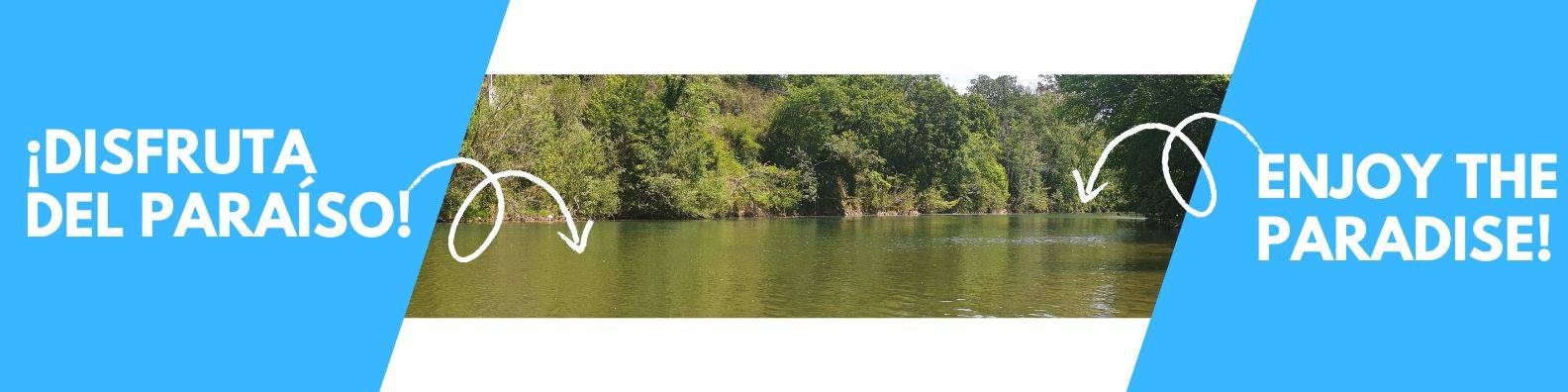
🏞️ Environment: River area with beach and estuary with urban access
✅ Ideal for: Arriving by kayak, photography, fishing, pick-up, and a final stroll
📝 Section Description:
Ribadesella (Km 20) marks the symbolic end of the International Sella Descent. Although the canoes don’t paddle into the town center, the Ribadesella bridge is the event’s official finish line.
This coastal village, nestled between the Sella River and the Cantabrian Sea, offers a unique setting of mountains, beach, and tradition. Here, sport, history, and nature blend perfectly to round off the descent experience.
What to see in Ribadesella after the descent?
- Tito Bustillo Cave: Rock art over 25,000 years old (World Heritage Site).
- Santa Marina Beach: Perfect for a stroll after your river adventure.
- Ribadesella Estuary: A natural meeting point of river and sea.Old Town: Asturian architecture, cider bars, and rich local culture.
This area is a free fishing zone and forms part of the most important cultural and sporting route in Asturias.
👉 Discover more about the full Sella Descent at sellavirtual.com/descenso-del-sella or check the detailed route with all stops at sellavirtual.com/el-recorrido-del-descenso-internacional-del-sella.
Ribadesella awaits to put the perfect finishing touch on your Sella River adventure!
From the banks of the Sella River:
tag: river sella descent by canoe / kayak – descenso del sella en canoa / kayak – fishing ground – coto de pesca


5 Comments